


WaterSense · Network management and GIS
See your whole network, cut water loss
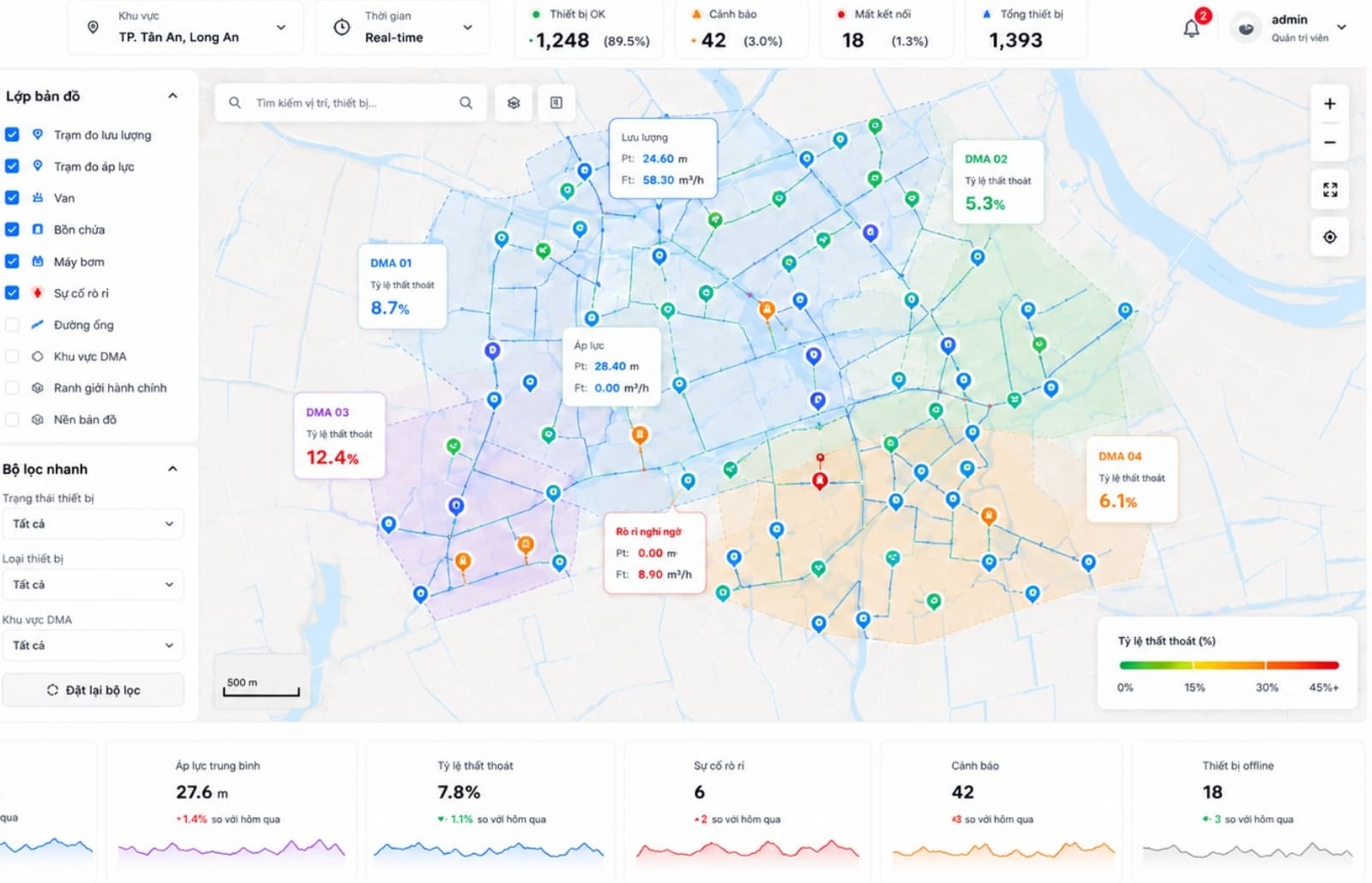
Pipes, valves, meters and DMAs, along with pressure and flow data, on one digital map. Operators pinpoint leaks faster, and field staff look up and update records on their phones.
Maps and assets
All your network information on one map
No more paper drawings, scattered CAD files or each crew’s own logbook. In WaterSense, every pipe section, valve and meter has its location, records and measurements attached, and the office and the field look at the same source.
Maps and assets
- Network map
- Every pipe, valve, meter and DMA on Web GIS.
- Asset records
- Click on the map to see each asset’s specifications and incident history.
- Field app
- Staff look up and update network records on their phones.
Incident response
Find leaks faster
- 01
Get the alert
Unusual pressure or flow is flagged right on the map, together with the affected DMA.
- 02
Narrow it down
Check pipes, valves and incident history to pinpoint the area to inspect.
- 03
Fix and update
Field crews update the record on their phones as soon as the job is done, so network records stay current.
Operating data
- Flow and pressure
- Logger and SCADA readings shown in real time on the map.
- AI anomaly detection
- AI gives early warning of leaks and incidents on the network.
- Water quality
- Track water-quality monitoring data right on the map.
Why WaterSense
Benefits for every team
Ready to connect with SCADA, data loggers, IoT devices, billing software and a central data warehouse.
- Management
- See network status and water loss by DMA to guide investment and renewal decisions.
- Engineering
- Central asset management and faster incident location, so customers are without water for less time.
- Field staff
- Look up and update records on the spot, with no trips back to the office to check.
Deploy in the cloud or on your own servers; network data stays under the utility’s control.
In practice
A delivered project
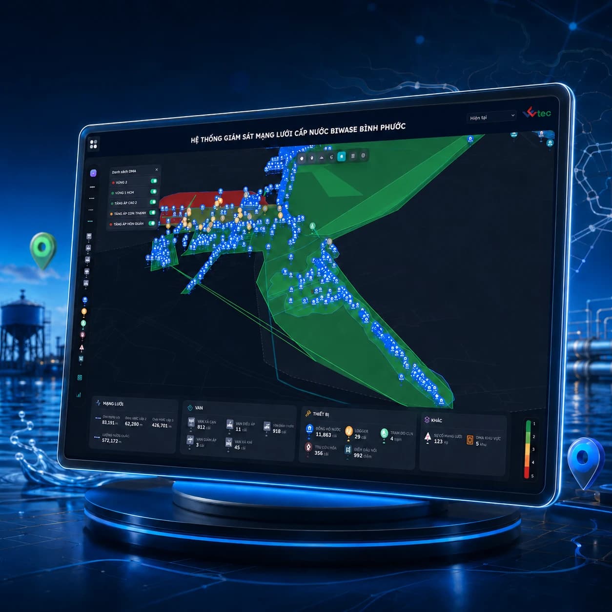
Network asset management on GIS
Mapped more than 100,000 network assets, including pipes, valves, meters and DMAs, with sensor data to support monitoring and anomaly checks.
- 100,000+ assets digitized
- Web and mobile app
- Real-time data

See WaterSense in action
Book a session to see how WaterSense puts your network data on a digital map and helps reduce water loss.